
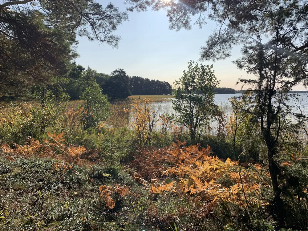
Gästrikeleden - Gästrikland Hiking trail
The first part was completed in 1975 and the finished trail was inaugurated in 1986.
From Jädraås there is a trail to Lingbo (approx. 40 km) which connects to the Hälsingeleden at Åmot. At the county border south of Gävle, the Upplandsleden continues. The Fäboleden is a "transverse trail" between Högbo and Kungsfors (approx. 25 km). The Lenåsleden runs from the Fäboleden near Blanka's shack to Mårtensklack (approx. 9 km).
Through a "crossroad" at Rönnåsen, the Rönnås Roundabout (approx. 15 km) is formed.
After Kungshögsleden west of Österfärnebo there is a lookout tower
(about 9 km).
The circular route is about 27 miles and there is a total of 36 miles of hiking trails.
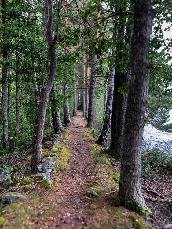
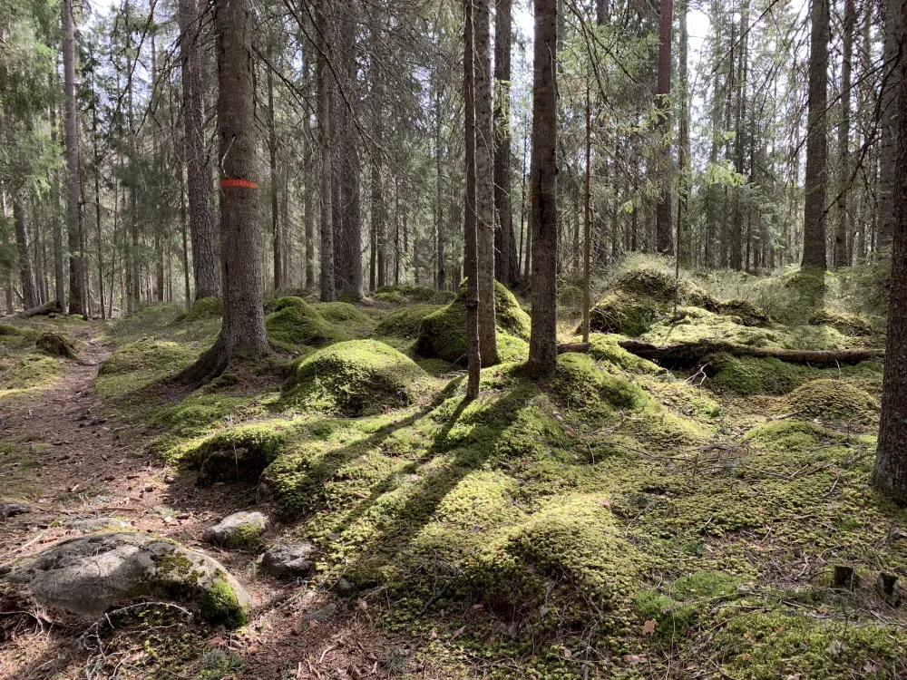
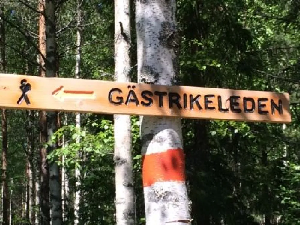
On the Gästrikeleden, you can safely walk in nature without getting lost. Orange markings on trees and poles as well as arrows and signs guarantee this. The municipalities are the principals for the trail.
Gästrikeleden trail 1. Hemlingby-Gysinge
Gästrikeleden trail 2. Gysinge-Hofors
Gästrikeleden trail 3. Hofors-Rönnåsen
Gästrikeleden trail 4. Rönnåsen-Hemlingby